PTECHWATCHFUL EYES NEVER GET SURPRISED
Explore our systems ↗
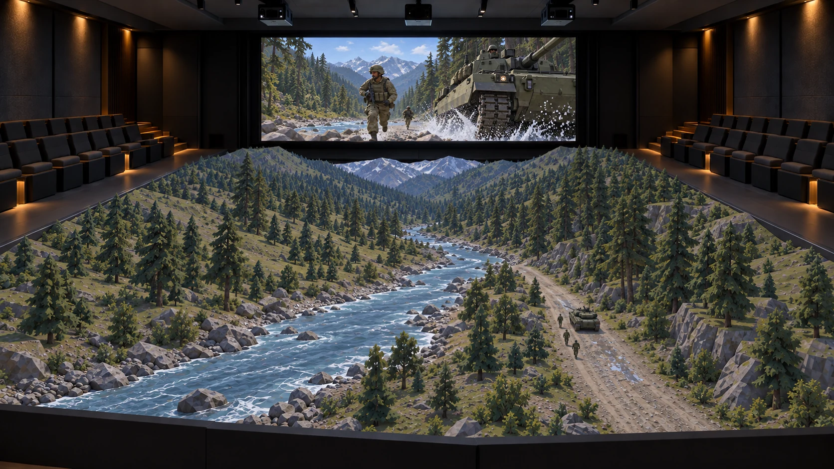
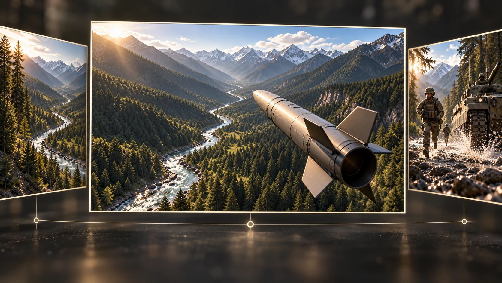
A training theatre surrounding a rendered model of a forest river valley

01 / UNDERSTAND

BVIS1Battlefield Visualization & Interaction Systems 1

Study the terrain
before the exercise.

Bring terrain into the briefing room. Study elevations, mark areas and annotate a shared map for officer training.

Enter the environment ↓Explore all seven systems ↓
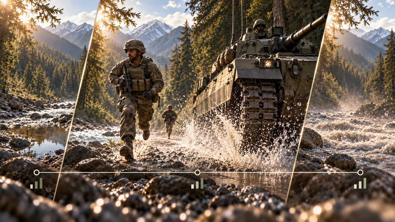
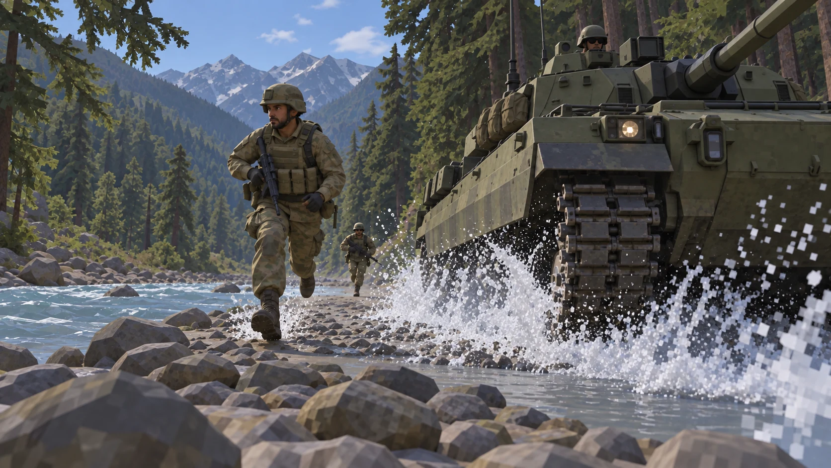
Rendered training environment with a river, trainee and tracked vehicle

02 / EXPLORE

BVIS23D Visualization

Explore the scenario
in three dimensions.

Move from a broad terrain view to ground level. Explore the landscape, built environment and markers within a rendered scenario.

Simulation → cinematic visualization
A trainee using a VR headset beside a rendered scenario

03 / EXPERIENCE

BVIS3VR TAC Simulator

Step inside
the exercise.

Experience a tactical environment from the trainee’s viewpoint, with a VR headset placing the exercise around them.

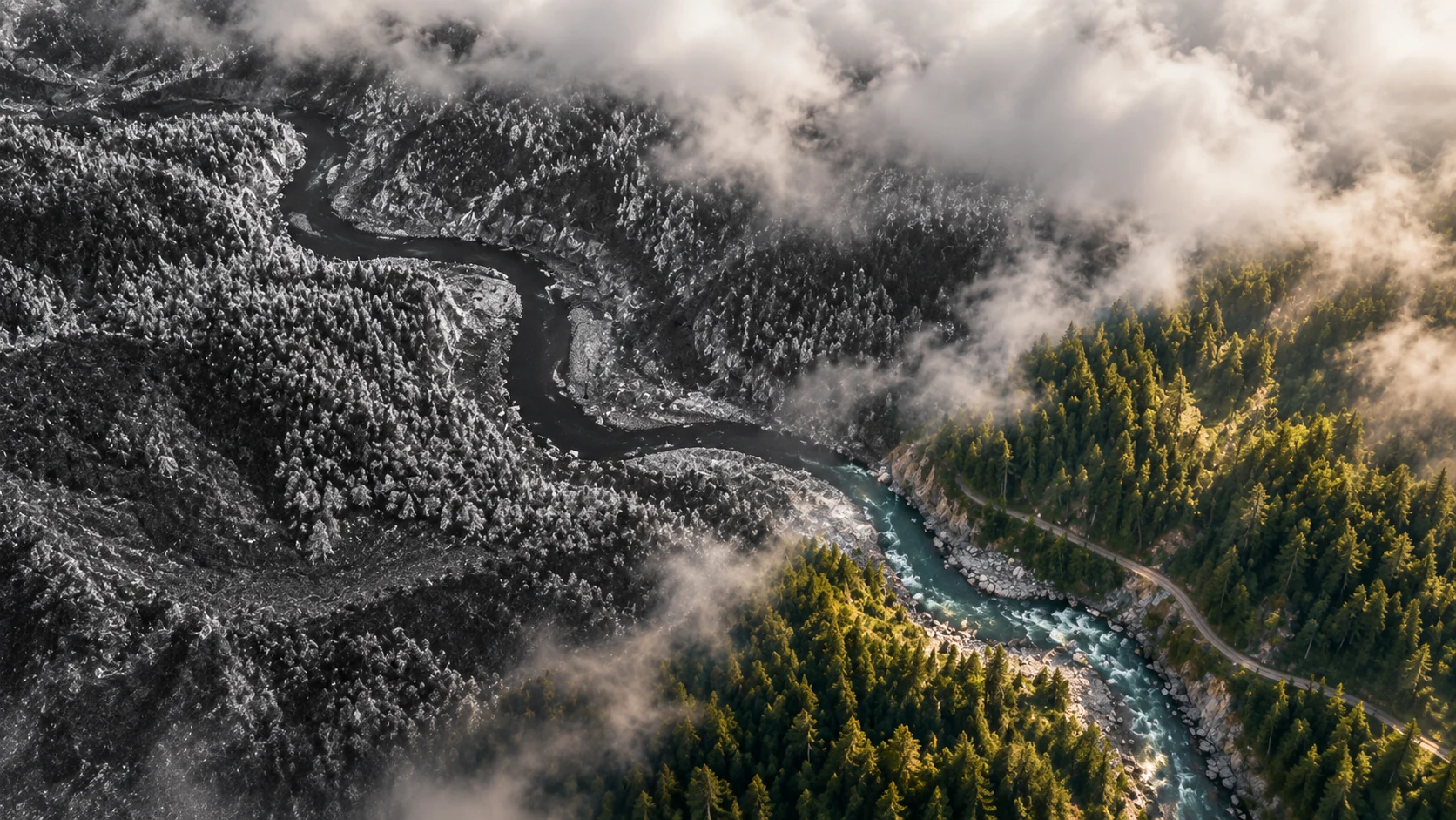
A forest valley transitioning into a monochrome sensing illustration

04 / OBSERVE

SARSynthetic Aperture Radar

Read the terrain
through radar.

Use radar imagery for day and night observation, area coverage and change detection.

Illustrative sensing sequence
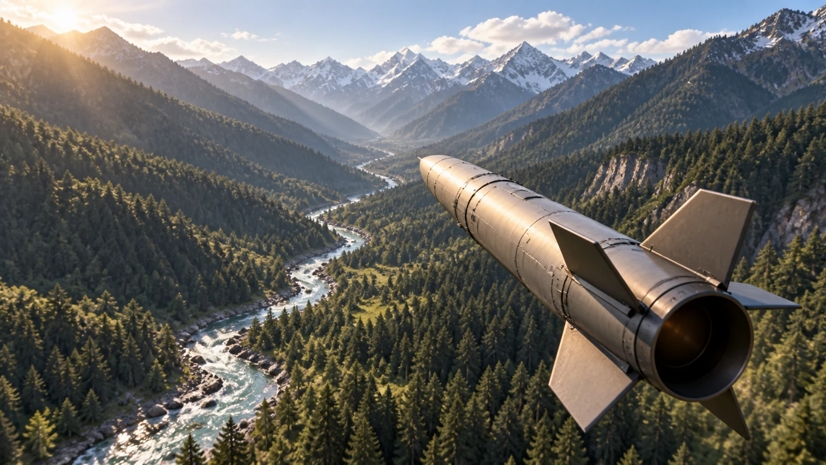
A conceptual simulation viewed from behind one missile above a valley

05 / REVISIT

MISE1Missile Interactive Simulation Engine 1

Replay the sequence.
Examine the result.

Configure a simulated scenario, follow its sequence and replay key moments for post-simulation analysis.

Related exercise moments organized as image records

06 / ORGANIZE

DIDS1Data Intelligence Dashboard System 1

Start with
the incident record.

Collect incident data and organize the records in a consistent view for analysis.

Exercise moments arranged along a conceptual timeline

06 / INTERPRET

DIDS1Data Intelligence Dashboard System 1

See how incidents
change over time.

Compare incidents in chronological order and use visual analysis to identify trends.

EVENTSPATTERNSCONTEXT
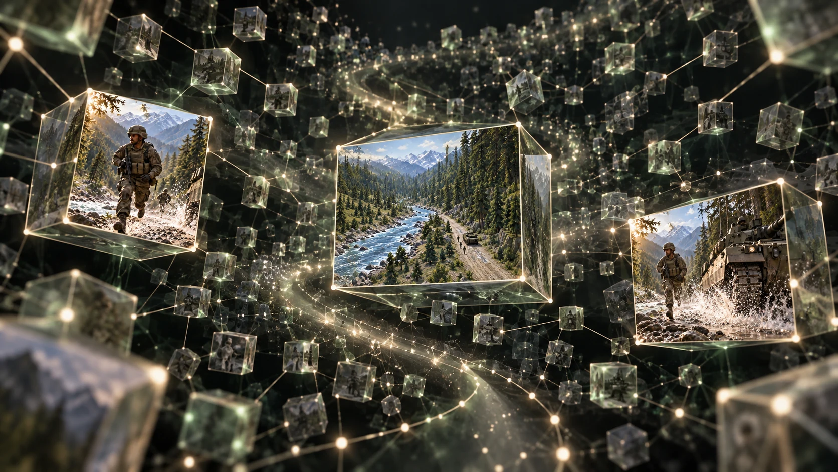
A spatial cloud of connected cubes containing archived images

07 / PRESERVE

DDAS1Digital Data Archive Software 1

The record remains
available for review.

Keep documents and media in an offline archive. Find records by tags and manage access through administrator-set permissions.

Return to the opening training theatre

THE PTECH PORTFOLIO

PTECHSimulation · Visualization · Knowledge

From the training room
to the archive.

Seven systems spanning terrain visualization, immersive training, specialist simulation and information management.

Explore the portfolio ↗

EXPLORE THE SYSTEMS

A terrain training environment from the cinematic journey

THE PTECH PORTFOLIO

Find the system
for your task.

Deployed for Pakistan Army Officers’ Training. The wider portfolio includes simulation, analysis and digital archiving. Explore each system below.

SEVEN SYSTEMS SWIPE TO EXPLORE →

01 TO 03 / TRAINING & VISUALIZATION

Terrain study
and immersive training.

A shared terrain view supports the briefing. Rendered environments and headset-based exercises offer other ways to experience a scenario.
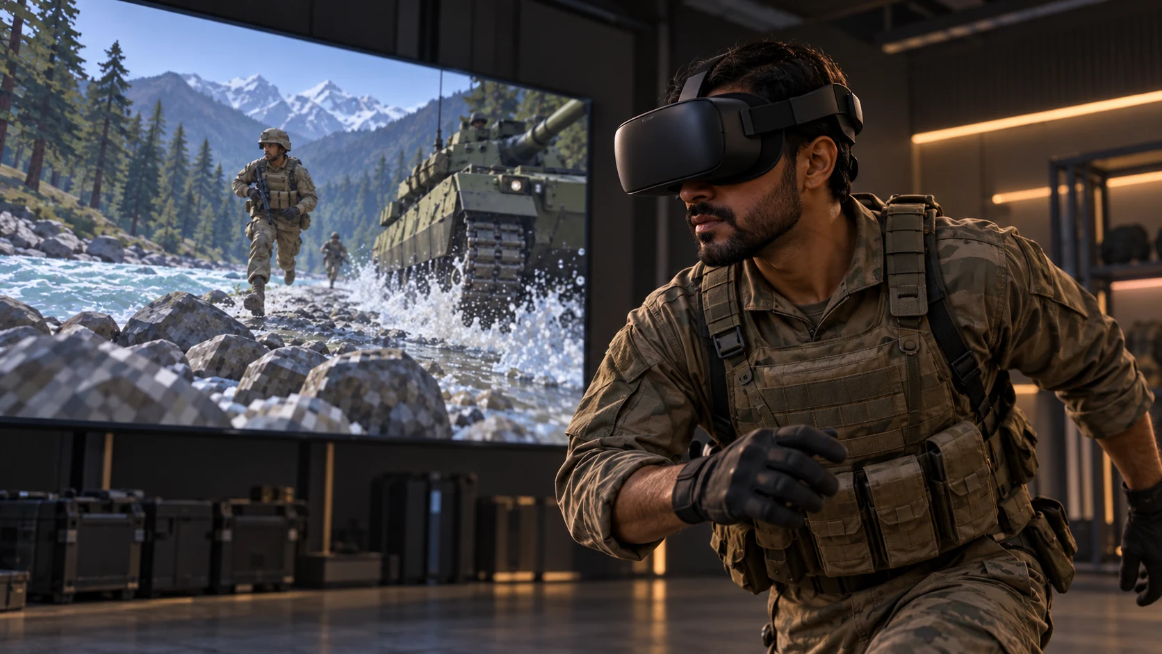
Concept visualization of a VR trainee and training environment
BVIS3 / VR TAC SIMULATOR IMMERSIVE TRAINING
BVIS1

Battlefield Visualization
& Interaction Systems 1

An interactive terrain view for shared briefings and officer training. Combine map layers with annotations to make the landscape easier to discuss.

  • Contours, elevation and hybrid map layers
  • Boundaries, drawing and distance measurement
  • Viewshed and line-of-sight visualization
Deployed for officer trainingVIEW THE TERRAIN CHAPTER ↗
BVIS2

3D Visualization

Explore a rendered landscape from broad terrain views down to ground level, with vegetation, buildings and scenario markers providing context.

  • Navigable 3D environments
  • Ground-level and wider terrain perspectives
  • Visual context for units, routes and annotations
VIEW THE 3D CHAPTER ↗
BVIS3

VR TAC Simulator

A headset-based training environment that places the trainee within the scenario, making space and scale part of the exercise.

  • Immersive tactical environments
  • A first-person view of the exercise
VIEW THE VR CHAPTER ↗

04 TO 05 / SENSING & SIMULATION

Radar imagery
and simulation replay.

Conceptual radar imaging view of a river valleySAR

Synthetic Aperture Radar

Radar imagery for observation across day and night. Compare imagery to identify changes across an area.

  • Day and night imaging
  • Area coverage and change detection
  • Coverage configured for the requirement
VIEW THE SENSING CHAPTER ↗
Cinematic concept of a missile simulation above a valleyMISE1

Missile Interactive
Simulation Engine 1

Build a simulated scenario, follow its progression and review the outcome in a 3D mapping environment.

  • Configurable scenarios and simulation assets
  • Simulation controls and replay
  • Post-simulation analysis
VIEW THE SIMULATION CHAPTER ↗

06 TO 07 / ANALYSIS & ARCHIVING

Incident analysis.
Records you can revisit.

Organize incidents for analysis and preserve digital records in an offline archive.

DIDS1

Data Intelligence
Dashboard System 1

Illustrative sequence of records arranged for analysis

Bring incident data into a consistent format, then use dashboards and visual analysis to examine patterns over time.

  • Data entry, collection and standardization
  • Incident dashboards and visualizations
  • Trend analysis and comparison
VIEW THE ANALYSIS CHAPTER ↗
DDAS1

Digital Data
Archive Software 1

Conceptual archive of connected image records

Store documents, images, video and audio in an offline archive, with access permissions set by an administrator.

  • Tag-based record search
  • Dated records and event comparisons
  • Access permissions and activity logs
VIEW THE ARCHIVE CHAPTER ↗

SIMULATION · VISUALIZATION · KNOWLEDGE

Tell us about
your requirements.

MILITARY TRAINING | AI OPS | DIGITAL WARFARE | MILITARY OPS | TACTICAL OPS | SURVEILLANCE

contact@ptech.ltd ↗